
Kepler Geo-Informatics NV is a geodetic engineering company in Suriname. The founder ir. Dinesh Kalpoe, sworn surveyor and his team are educated and trained according to the current standards in customer responsiveness business processes and technology.
Kepler GI is active in executing surveying and mapping activities:
-legal boundaries and cadastral parcel maps
-topographic elements and topographical datasets
-real estate planning control and mapping
-measurements and mapping of cables and pipelines
-hydrographical positioning mapping and reporting
-tailor-made geodetic services in the civil engineering market
for a wide range of customers in government in utilities and in the private sector for enterprises and individual citizens.
Performance
Before we start we make a clear agreement with you as our customer about the execution and quality of the work, our staff, the delivery of the product, the time - and cost planning following the international standards on quality and control.
Vision
Suriname needs for its developments in key social and economic sectors adequate capacity in the private sector for executing surveying and mapping and location data services within state of the art international standards.
Mission
Kepler GI becomes your preferred geodetic and geodata expert in Suriname
Services
Surveying products and Services
Parcel ID
Carrying out cadastral measurements and producing parcel maps with a certified parcel ID from the MI-GLIS (National Land Registry Office) in conformance with the GLIS Law
Land surveying measurements
Land surveying measurements for civil engineering activities such as road construction, stake out of building foundations and volume calcutations
Hydrographic measurements
hydrographic measurements (small scale) for depth mapping of rivers, creeks and canals.
Topographic measurements
Topographic measurements and production of topographic maps on paper and in GIS
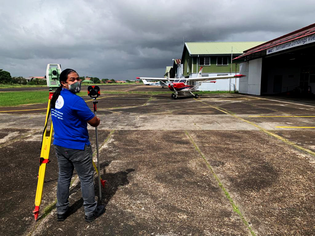
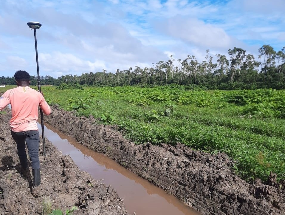
Gallery
Check our Gallery
.jpg)
.jpg)
.jpg)
.jpg)
.jpg)
.jpg)
Contact
Contact Us
Location:
Head office: Niddhastraat 18, Paramaribo
Tout Lui Fautweg 8, Wanica
Suriname / South America
Email:
dkalpoe@keplergi.com
Call:
+597 430-777
+597 853-1091/whatsapp
+597 859-5213/whatsapp